Wisconsin River Islands
32 mi north · Bureau of Land Management
to your public lands! Wisconsin is home to over 15,000 lakes, 84,000 river miles, and countless islands.
Outdoors
Day-use and picnic areas near Madison on public land, from quick drives to full-day outings.
Good to know: Group picnic sites can often be reserved; fire rules change with the season, so check before bringing a grill.
32 mi north · Bureau of Land Management
to your public lands! Wisconsin is home to over 15,000 lakes, 84,000 river miles, and countless islands.
52 mi northeast · Fish and Wildlife Service
At more than 33,000 acres, Horicon Marsh is one of the largest freshwater marshes in the United States and is a critical rest stop for thousands of migrating ducks and Canada geese.
73 mi southwest · US Army Corps of Engineers
Spread along the banks of the Upper Mississippi River, the Grant River Campground, located in the "Catfish Capital of Wisconsin," is a modern campground that offers a plethora of outdoor and recreational activities.
Map of 13 places loads as you scroll.
to your public lands! Wisconsin is home to over 15,000 lakes, 84,000 river miles, and countless islands.
At more than 33,000 acres, Horicon Marsh is one of the largest freshwater marshes in the United States and is a critical rest stop for thousands of migrating ducks and Canada geese.
Spread along the banks of the Upper Mississippi River, the Grant River Campground, located in the "Catfish Capital of Wisconsin," is a modern campground that offers a plethora of outdoor and recreational activities.
Fifteen campgrounds dot the shoreline along the upper Mississippi River Project. Facilities include campsites, boat ramps, picnic shelters, interpretive programs, hiking trails and eagle watching in the winter months.
Blanding Landing is situated in a lush river valley on the east bank of the great Mississippi, just 13 miles from Galena, Illinois. Rich deposits of minerals line the landscape.
Located within the scenic Upper Mississippi River Valley between Genoa, WI and Lynxville, WI.
Bulger's Hollow Recreation Area is a hidden gem located on the Mississippi River. Whether you like camping, fishing, boating, or just taking in nature, Bulger's Hollow Recreation Area is the perfect place.
Located within the scenic Upper Mississippi River Valley between Lynxville, WI. and Guttenberg, IA.
Located within the scenic Upper Mississippi River Valley between Dresbach, MN and Genoa, WI.
Located within the scenic Upper Mississippi River Valley between Trempealeau, WI and Dresbach, MN.
Located within the scenic Upper Mississippi River Valley between Trempealeau, WI and Dresbach, MN.
Ever want to see the operation of a lock and dam? The Illinois Waterway Visitor Center offers you that as well as impressive towboats of mammoth proportions navigating through the Starved Rock Lock, which is one of eight on the Illinois…
There is no public access or facilities at the Lock and Dam. There are public facilities scattered throughout the Pool.Located within the scenic Upper Mississippi River Valley between Winona, MN and Trempealeau, WI.
Distances are straight-line miles from downtown Madison. Listings come from Recreation.gov’s federal recreation database; check each official page for hours, fees, fire restrictions and closures before you go.

THINGS TO DO · YOUTUBE SHORT
A local activity Short shared by Destination Madison.
Watch on YouTube ↗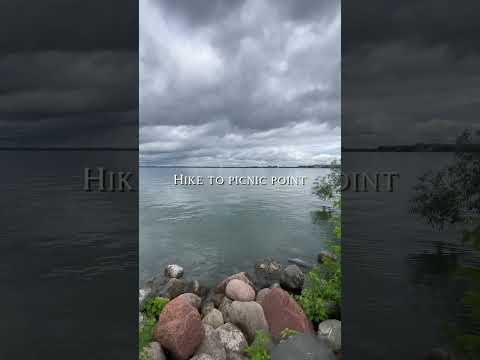
THINGS TO DO · YOUTUBE SHORT
A local activity Short shared by Samantha Angelie.
Watch on YouTube ↗


Wisconsin River Islands (Bureau of Land Management), about 32 miles north of Madison as the crow flies. Next are Horicon National Wildlife Refuge (52 mi) and Grant River (73 mi).
Based on Madison’s average highs, May–September. Conditions at higher elevations can be much cooler.
Federal agencies including US Army Corps of Engineers, Bureau of Land Management, Fish and Wildlife Service. Each listing links to its official page for hours, fees, closures and current conditions.